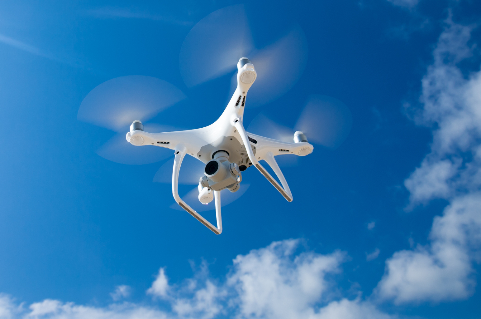
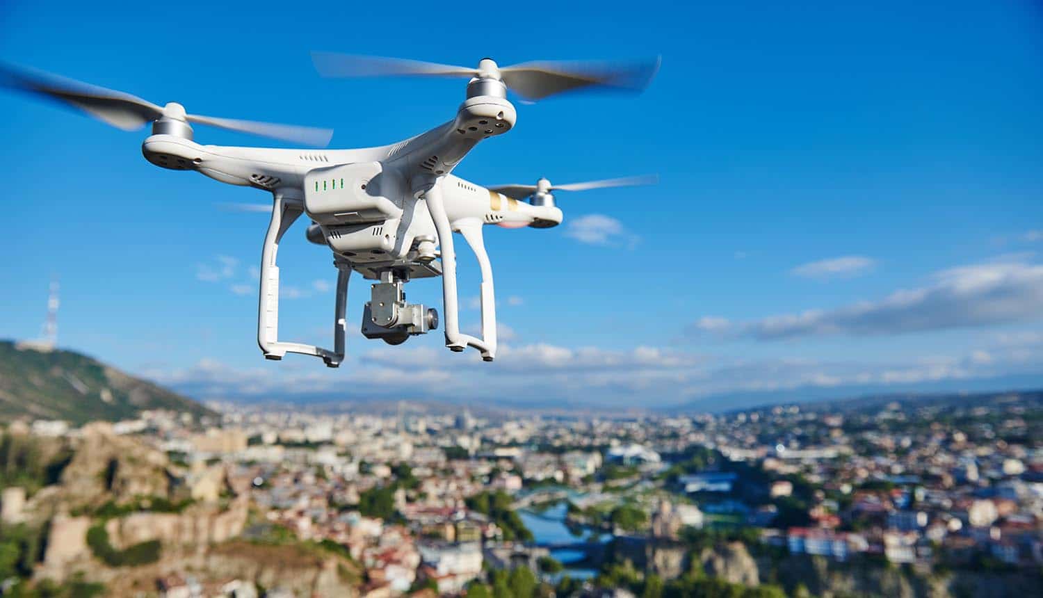
Sky elements drones are revolutionizing atmospheric research, offering unprecedented capabilities for data collection and analysis. These unmanned aerial vehicles (UAVs), equipped with a variety of sensors, provide researchers with detailed insights into atmospheric phenomena, from cloud formations and weather patterns to air quality and pollution levels. This exploration delves into the technology, applications, and future potential of this rapidly evolving field.
The integration of drone technology allows for detailed, localized measurements previously impossible with traditional methods. By deploying drones equipped with sensors for temperature, pressure, humidity, and pollutant detection, scientists gain a more comprehensive understanding of atmospheric processes and their impact on our environment. The resulting data is crucial for improving weather forecasting, climate modeling, and environmental monitoring efforts.
Drone Technology in Atmospheric Research
The integration of drone technology has revolutionized atmospheric research, offering unprecedented opportunities for data collection and analysis. These unmanned aerial vehicles (UAVs) provide a flexible and cost-effective platform for accessing diverse atmospheric layers and phenomena, supplementing traditional methods with high-resolution, in-situ measurements.
Types of Drones for Atmospheric Data Collection
Various drone platforms cater to specific atmospheric research needs. Fixed-wing drones excel in covering large areas, while multirotor drones offer superior maneuverability for detailed observations in complex terrains or close-range studies. Hybrid designs combine the advantages of both. Tethered drones provide continuous power supply for extended observation periods, ideal for long-term monitoring applications. The choice depends on factors such as flight duration, payload capacity, and operational environment.
Drone-Based Atmospheric Parameter Measurement
Drones carry a suite of sensors to measure atmospheric parameters. Temperature sensors, often thermocouples or thermistors, provide accurate temperature readings at various altitudes. Pressure sensors, like barometric altimeters, measure atmospheric pressure, crucial for determining altitude and density. Humidity sensors, such as capacitive or resistive sensors, quantify water vapor content. These sensors, along with others measuring wind speed, direction, and radiation, are integrated into a data acquisition system for simultaneous measurement and recording.
Comparison of Drone Platforms for Sky Element Research

| Drone Type | Payload Capacity | Flight Duration | Maneuverability |
|---|---|---|---|
| Fixed-Wing | High | Long | Low |
| Multirotor | Moderate | Short to Moderate | High |
| Hybrid | Moderate to High | Moderate to Long | Moderate |
| Tethered | Moderate | Very Long | Moderate |
Imaging and Visualization of Sky Elements
Drone-captured imagery plays a vital role in understanding atmospheric processes. Advanced image processing techniques are employed to extract meaningful information from these images, contributing significantly to weather forecasting and climate modeling.
Image Processing Techniques for Drone Imagery Analysis
Sophisticated image processing techniques, including image stitching, orthorectification, and feature extraction, are used to create high-resolution mosaics and three-dimensional models of cloud formations, weather patterns, and other atmospheric phenomena. These techniques enhance the accuracy and detail of the captured data, allowing for more precise analysis.
Drone Imagery’s Contribution to Weather Forecasting and Climate Modeling
High-resolution drone imagery provides valuable insights into the dynamics of cloud formation, precipitation patterns, and atmospheric boundary layer processes. This data, integrated with traditional meteorological models, improves weather forecasting accuracy and enhances our understanding of climate change impacts. For instance, drone imagery can reveal microclimatic variations not captured by larger-scale observations, leading to more precise predictions of localized weather events.
Typical Drone-Based Atmospheric Observation System
A typical system comprises a multirotor drone equipped with a high-resolution camera, various sensors (temperature, pressure, humidity, wind speed), a GPS module for precise positioning, and a data acquisition system for recording and transmitting the collected data. The drone is controlled remotely by a ground station, which also processes the acquired data in real-time. The system might include specialized software for image processing and data analysis.
The data is then transmitted to a cloud-based storage and analysis platform for further processing and interpretation.
Environmental Monitoring with Sky Element Drones: Sky Elements Drones
Drones are increasingly used for environmental monitoring, providing a cost-effective and efficient way to assess air quality and pollution levels. Their ability to reach remote locations and gather data at various altitudes makes them ideal for this purpose.
Drone’s Role in Monitoring Air Quality and Pollution
Equipped with specialized sensors, drones can detect and quantify various atmospheric pollutants. They can measure concentrations of particulate matter (PM2.5 and PM10), greenhouse gases (CO2, methane), and other harmful substances. This data provides crucial information for assessing air quality, identifying pollution sources, and implementing effective mitigation strategies. For example, drones have been deployed to monitor volcanic ash plumes, enabling timely warnings and evacuation planning.
Detecting and Tracking Atmospheric Pollutants

Drones equipped with gas sensors can map the spatial distribution of pollutants, providing a detailed understanding of their sources and dispersion patterns. By tracking pollutant plumes over time, researchers can study the impact of emission sources and evaluate the effectiveness of pollution control measures. Furthermore, drones can access hard-to-reach areas, such as industrial sites or densely populated urban centers, providing a more comprehensive assessment of air quality.
Environmental Applications of Drone Technology in Sky Element Research
- Monitoring air quality in urban areas
- Assessing the impact of industrial emissions
- Tracking wildfire smoke plumes
- Studying the dispersion of agricultural pollutants
- Monitoring volcanic emissions
- Assessing the health of forests and vegetation
Safety and Regulatory Aspects of Drone Operations in the Sky
Safe and responsible drone operation is paramount in atmospheric research. Strict adherence to safety protocols and regulatory frameworks is essential to prevent accidents and ensure the integrity of research activities.
Safety Protocols and Regulations for Drone Operations

Drone operators must adhere to strict safety guidelines, including obtaining necessary permits and licenses, ensuring proper training and certification, and complying with airspace restrictions. Regulations vary by country and often involve limitations on flight altitude, operational areas, and required safety features on the drone itself. These regulations aim to minimize risks to both the public and the environment.
Comparison of Regulatory Frameworks for Drone Operations
Regulatory frameworks for drone operations differ significantly across countries. Some nations have established comprehensive regulatory bodies, while others are still developing their regulatory frameworks. These differences can affect the feasibility and cost of conducting drone-based atmospheric research in different locations. Understanding these variations is crucial for planning and executing international research projects.
Best Practices for Safe and Responsible Drone Deployment
Best practices include pre-flight checks, thorough weather assessments, maintaining visual line of sight (unless operating under specific exemptions), and having backup systems in place. Regular maintenance of the drone and its equipment is crucial. Operating within designated airspace and adhering to all relevant regulations are fundamental aspects of safe and responsible drone deployment.
Data Analysis and Interpretation of Drone-Collected Sky Data
Analyzing and interpreting data acquired by drones requires sophisticated methods to extract meaningful information. Statistical analysis plays a vital role in drawing reliable conclusions from this data.
Methods for Analyzing and Interpreting Drone-Collected Sky Data

Data analysis involves several steps, including data cleaning, quality control, spatial and temporal interpolation, and visualization. Advanced statistical techniques, such as regression analysis and time series analysis, are employed to identify trends and patterns in the collected data. Machine learning algorithms are also being increasingly used for automated data processing and anomaly detection.
Sky elements drones offer a unique perspective, capturing breathtaking aerial footage. For a stunning example of what’s possible, consider the high-definition imagery provided by the cobequid pass camera , which showcases the power of advanced camera technology. This type of visual data helps us better understand the capabilities of drones in various applications, further enhancing the potential of sky elements drones in diverse fields.
Statistical Analysis of Drone-Based Atmospheric Data
Statistical methods help to quantify the uncertainty associated with measurements and identify significant variations in atmospheric parameters. Regression analysis can be used to model the relationship between different variables, while time series analysis helps to identify trends and cyclical patterns in atmospheric data. These analyses provide valuable insights into the dynamics of atmospheric processes.
Data Processing Workflow for Drone-Acquired Atmospheric Information
A flowchart would begin with data acquisition from the drone’s sensors, followed by data validation and cleaning. This is followed by data preprocessing steps such as calibration and interpolation. Then, statistical analysis and visualization are performed. Finally, the results are interpreted and reported. Each step involves specific software tools and techniques tailored to the type of data and research questions.
Future Trends and Applications of Sky Element Drones
Emerging technologies promise to further enhance the capabilities of drones in atmospheric research, opening new avenues for investigation and contributing to a deeper understanding of our atmosphere.
Emerging Technologies Enhancing Drone Capabilities
Advances in sensor technology, miniaturization of electronics, and improvements in battery technology are leading to more capable and versatile drones. The integration of artificial intelligence (AI) and machine learning (ML) algorithms will automate data processing and analysis, improving efficiency and accuracy. The development of long-range communication systems will enable the operation of drones over wider areas.
Potential Future Applications of Drone Technology in Studying Sky Elements, Sky elements drones
Future applications include more extensive monitoring of greenhouse gas concentrations, high-resolution mapping of atmospheric pollutants, and improved monitoring of severe weather events. Drones could play a significant role in understanding the impacts of climate change and developing effective mitigation strategies. The use of drones in atmospheric research is expected to grow significantly in the coming years.
Future Role of Drones in Understanding and Mitigating Climate Change
Drones can contribute significantly to climate change research by providing detailed, high-resolution data on atmospheric processes. This data can be used to refine climate models, improve weather forecasting, and monitor the effectiveness of climate change mitigation efforts. For example, drones can monitor changes in ice sheet thickness and glacier melt, providing crucial information for understanding sea level rise.
The increasing sophistication of sky elements drones, particularly in terms of range and payload capacity, is reshaping modern warfare. Recent events, such as the significant drone attack on Russia, as detailed in this report ukraine drone attack on russia , highlight the evolving tactical implications. This underscores the need for continued advancements in drone technology, not only for military applications but also for civilian uses that require robust and reliable aerial systems.
The utilization of sky elements drones represents a significant advancement in atmospheric research, offering a powerful tool for understanding and addressing environmental challenges. From improving weather prediction accuracy to monitoring air quality and studying climate change, the applications are vast and continually expanding. As drone technology advances and regulatory frameworks evolve, we can expect even more innovative applications of this technology in the years to come, leading to a more comprehensive understanding of our atmosphere and its intricate processes.
FAQ Summary
What is the maximum altitude for drone operation in atmospheric research?
Maximum altitude varies depending on regulations, drone capabilities, and atmospheric conditions. Regulations often restrict altitudes to ensure safety and avoid airspace conflicts.
How are drone-collected data transmitted back to researchers?
Data is typically transmitted in real-time using various communication methods such as cellular networks, radio frequencies, or satellite links, depending on the range and data volume.
What are the limitations of using drones for atmospheric research?
Sky elements drones, known for their innovative designs, often face unexpected challenges. The recent incident involving a orlando drone show malfunction highlights the complexities of large-scale drone operations. Understanding such malfunctions is crucial for improving the safety and reliability of future sky elements drone displays and applications.
Limitations include battery life restricting flight time, weather dependency (wind, rain), regulatory restrictions on flight zones and altitudes, and potential data loss due to communication issues.